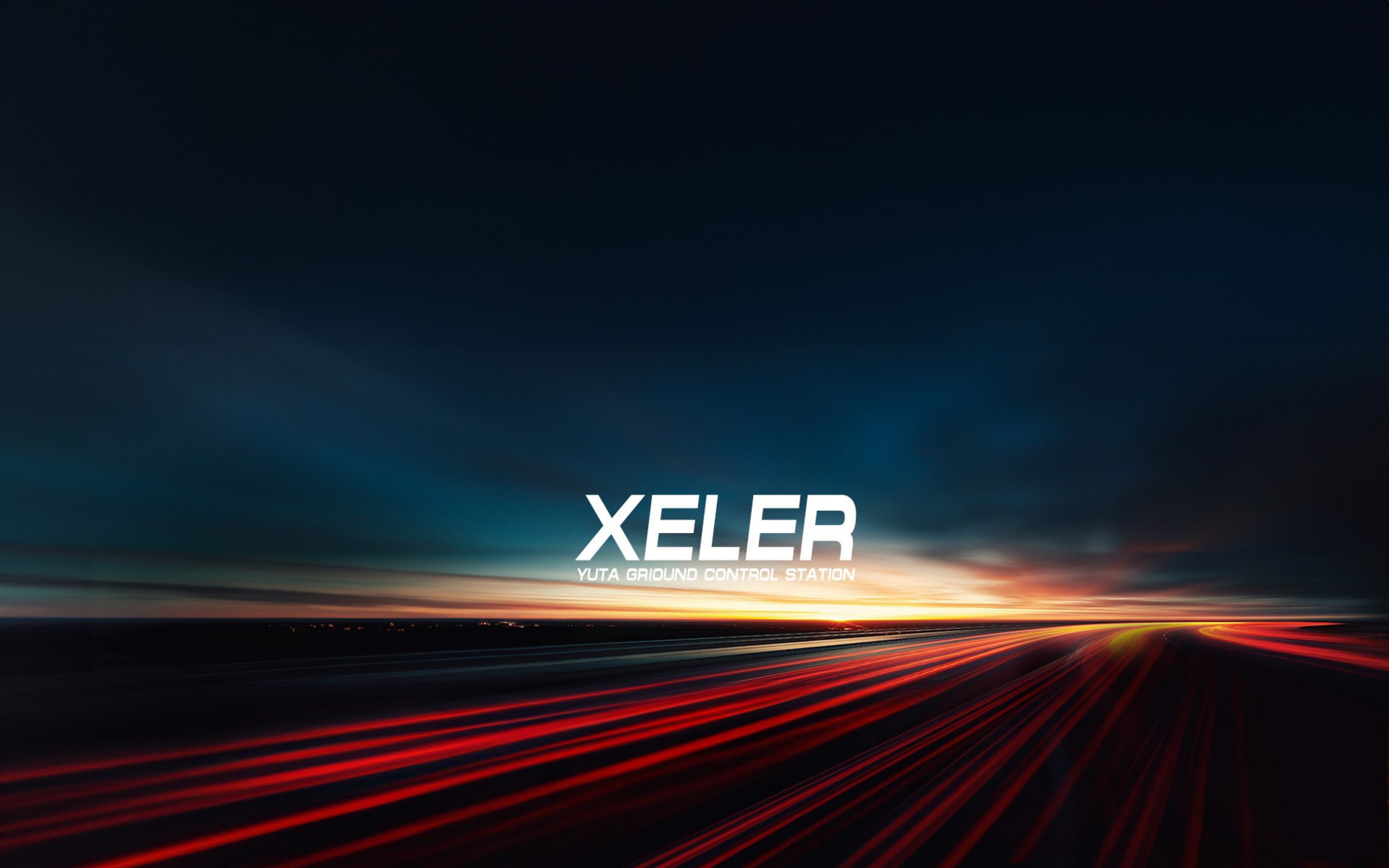
FLIGHT PLATFORM
XELER
Industrial quadcopter platform, designed and built in Taiwan

- 70 min
- Max flight time (no payload)
- 45 min
- With R-series gimbal
- 8 km
- Control range
- 20 m/s
- Max horizontal speed
MISSION PROFILES
One Aircraft, Three Loadouts
The P-Mount quick-release needs no tools and no recalibration. Swap the right gimbal on site and the same XELER changes roles instantly.
XELER × R1
Mapping & Modeling
61MP full-frame survey at ±3cm @ 100m. One sortie delivers orthomosaics, point clouds and reality models.
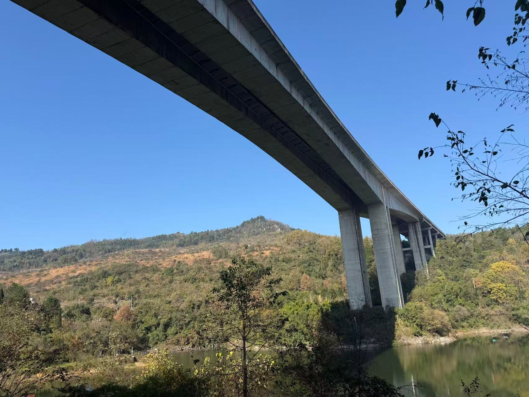
XELER × R2L
Inspection & Surveillance
720x hybrid zoom with laser ranging. Bridges, towers, coastlines — see clearly and measure precisely from kilometers away.
XELER × R3
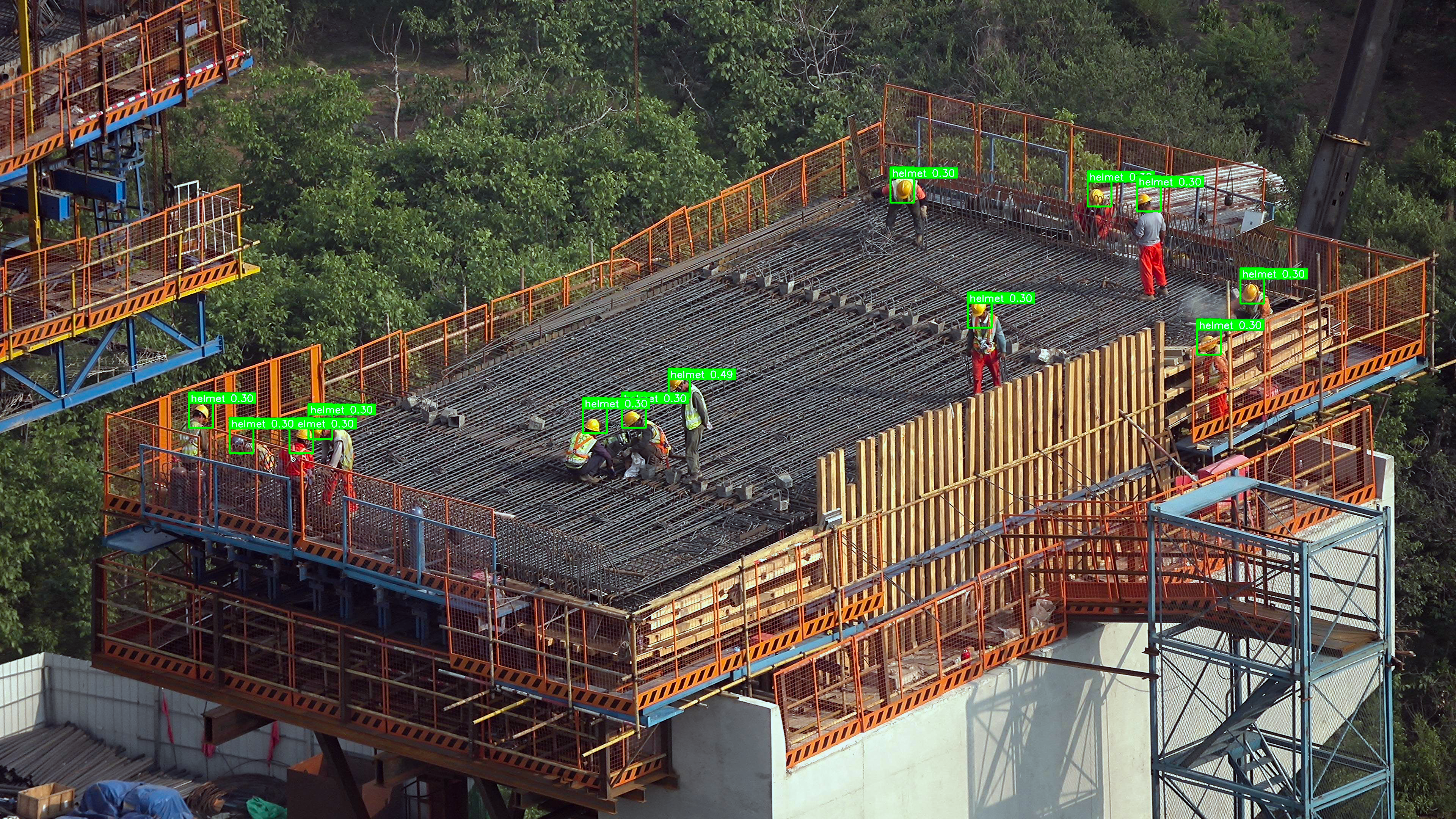
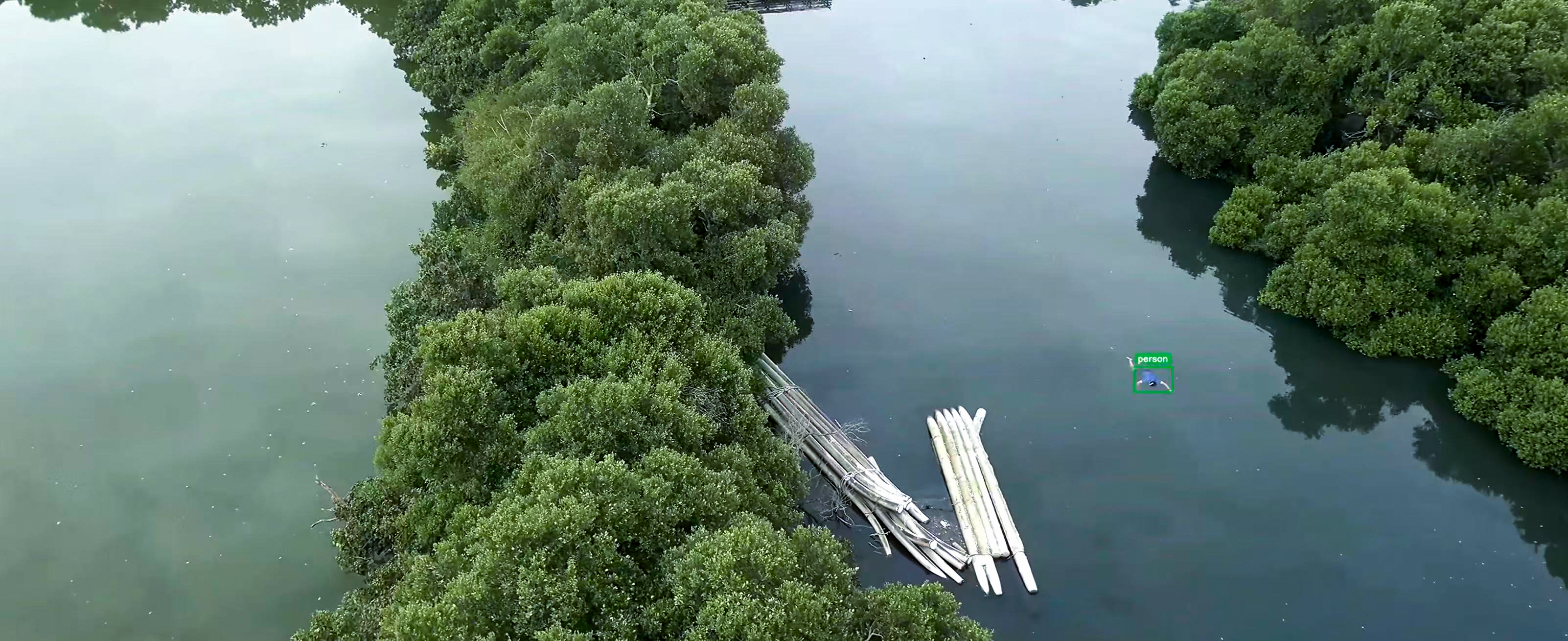
Search & Rescue
EO/IR day-night search with AI human detection, dispatched fleet-wide by the T-TAK command system.
SPECIFICATIONS
Full Specifications
Aircraft
- Type
- Quadcopter
- Dimensions
- 590 × 590 × 285 mm
- Empty weight
- 1.68 kg
- Takeoff weight (battery + gimbal)
- 3.95 kg
- Max flight time
- 70 min (no payload) / 45 min (with R1–R3 gimbal)
- Control range
- 8 km
- Service ceiling
- 5000 m
- Max ascent speed
- 5 m/s
- Max horizontal speed
- 20 m/s
- GNSS
- GPS + GLONASS + Galileo
- RTK accuracy
- 1 cm + 1ppm horizontal / 1.5 cm + 1ppm vertical
- Protocol
- Full MAVLINK 2.0
Battery
- Capacity
- 12000 mAh
- Nominal voltage
- 26.1 V
- Type
- 6S Lipo
- Rated energy
- 231 Wh
YUTA Ground Station
- Processor
- MediaTek 8-core CPU
- Display
- 7-inch handheld all-in-one
- OS
- Android 11
- Integration
- Video, telemetry and RC combined
- GCS software
- QGroundControl compatible / Mission Planner
- Origin
- Made in Taiwan
TRUST & OPENNESS
A Certified, Open Platform
XELER passed Taiwan's joint drone cybersecurity verification for government procurement, and speaks open MAVLINK 2.0 — no closed-ecosystem lock-in.
Cybersecurity certified
Verified by the joint drone cybersecurity testing laboratory with formal approval.
Full MAVLINK 2.0
Compatible with PX4, ArduPilot and Cube autopilots for deep mission-system integration.
RTK as standard
Centimeter-level RTK positioning ships with every aircraft.
Made in Taiwan
Airframe, gimbals and software all developed and built in Taiwan with a transparent supply chain.
MESH Networking, No Broken Links
XELER supports MESH radio networking: aircraft relay for each other, keeping links alive in shadowed terrain — the communications backbone of T-TAK multi-drone operations.

REALITY MODEL
Spin the Actual Field Output
This reality model came from a single XELER × R1 sortie. Load it and drag, zoom and inspect right in your browser.

GROUND STATION
YUTA Handheld Ground Station
A 7-inch all-in-one ground station combining video, telemetry and RC, powered by a MediaTek 8-core CPU — the whole mission in one hand. Made in Taiwan.
- 7-inch high-brightness display, readable in sunlight
- Android 11, QGroundControl compatible
- Video / telemetry / RC combined — no external phone
- Pairs with XELER out of the box
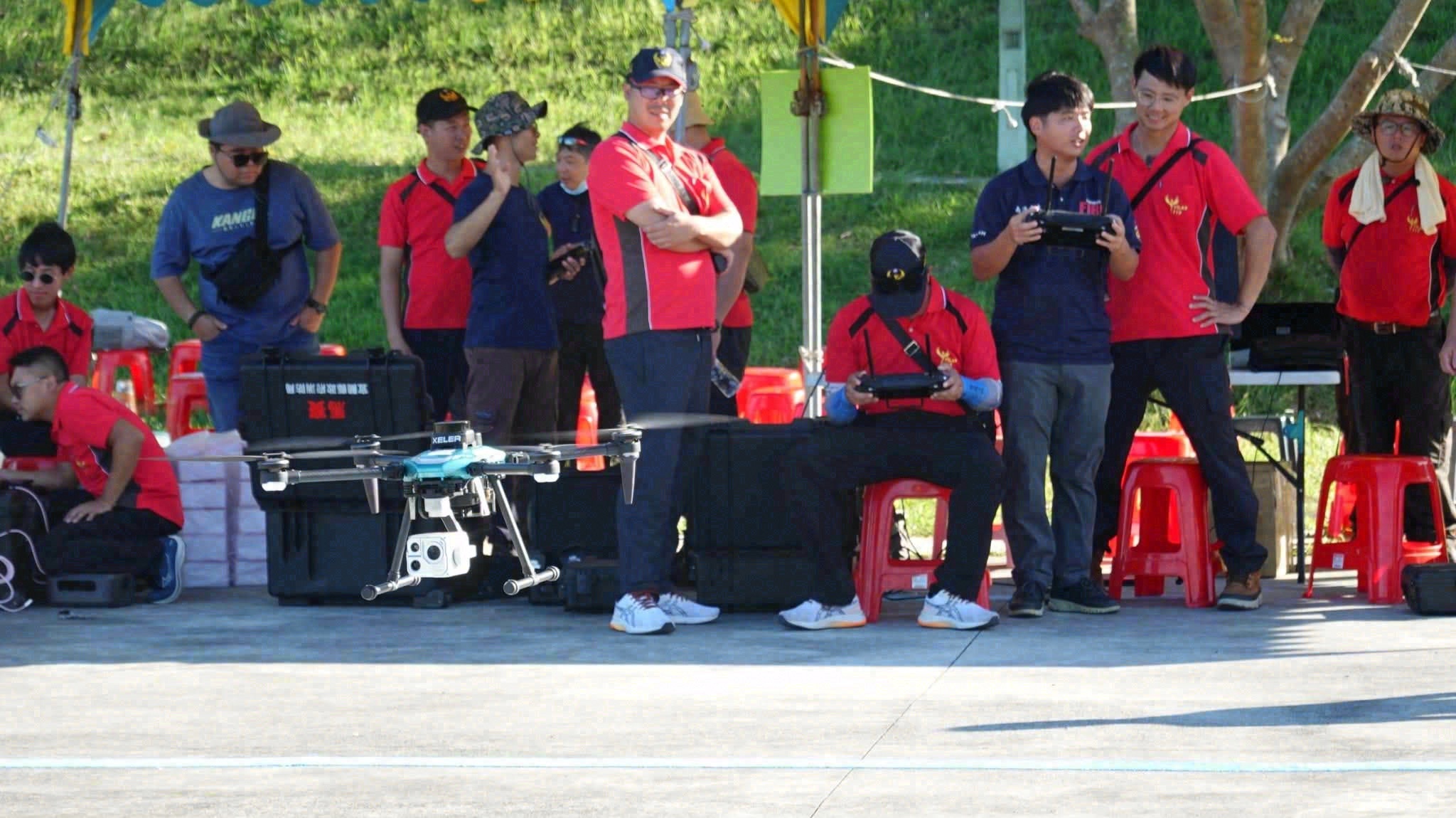
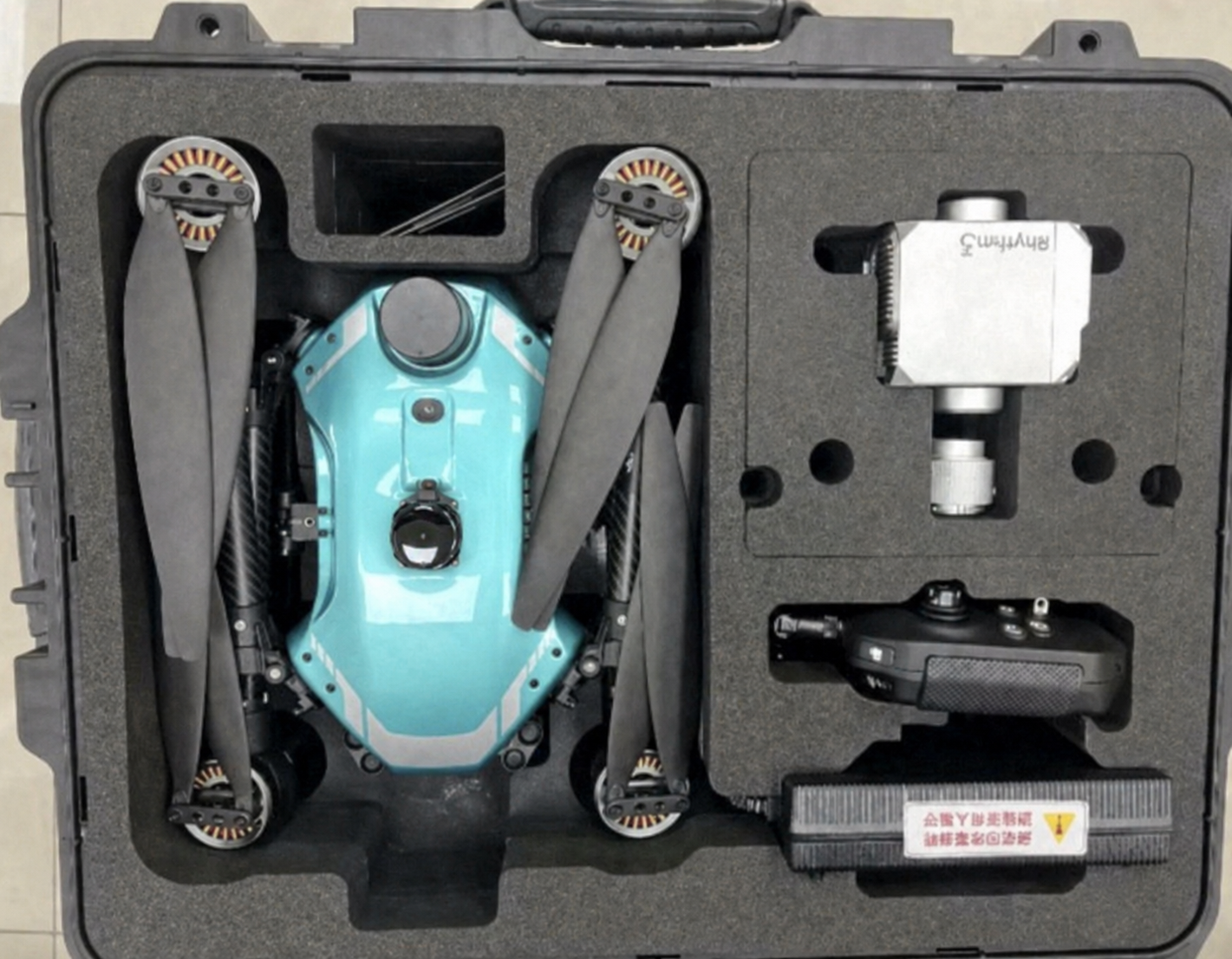
DEPLOYMENT
Modular Storage, Rapid Deployment
The aircraft folds into a single carrying case. Arrive, unfold and fly — one operator with the YUTA ground station covers the whole mission.
Three Quick-Release Gimbals
R1 full-frame mapping camera, R2L AI zoom gimbal, R3 EO/IR dual-sensor gimbal — full specifications and live demos.
See payloads